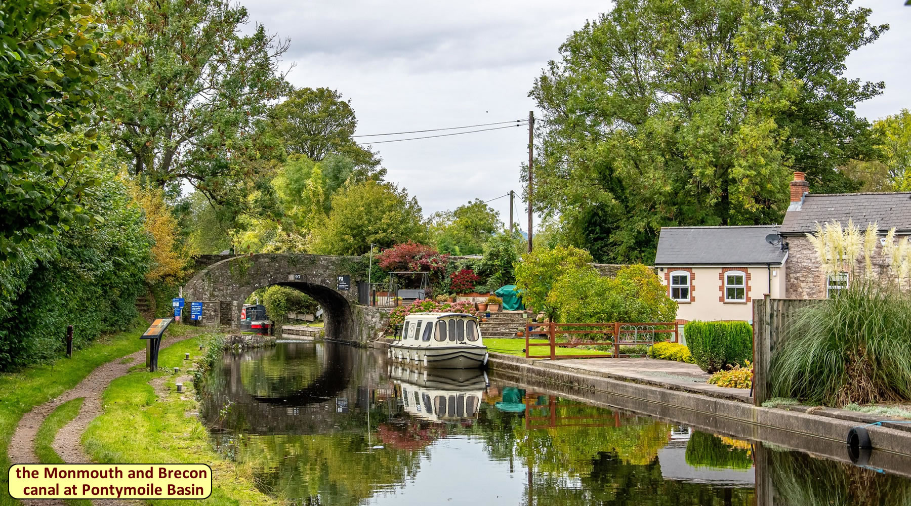
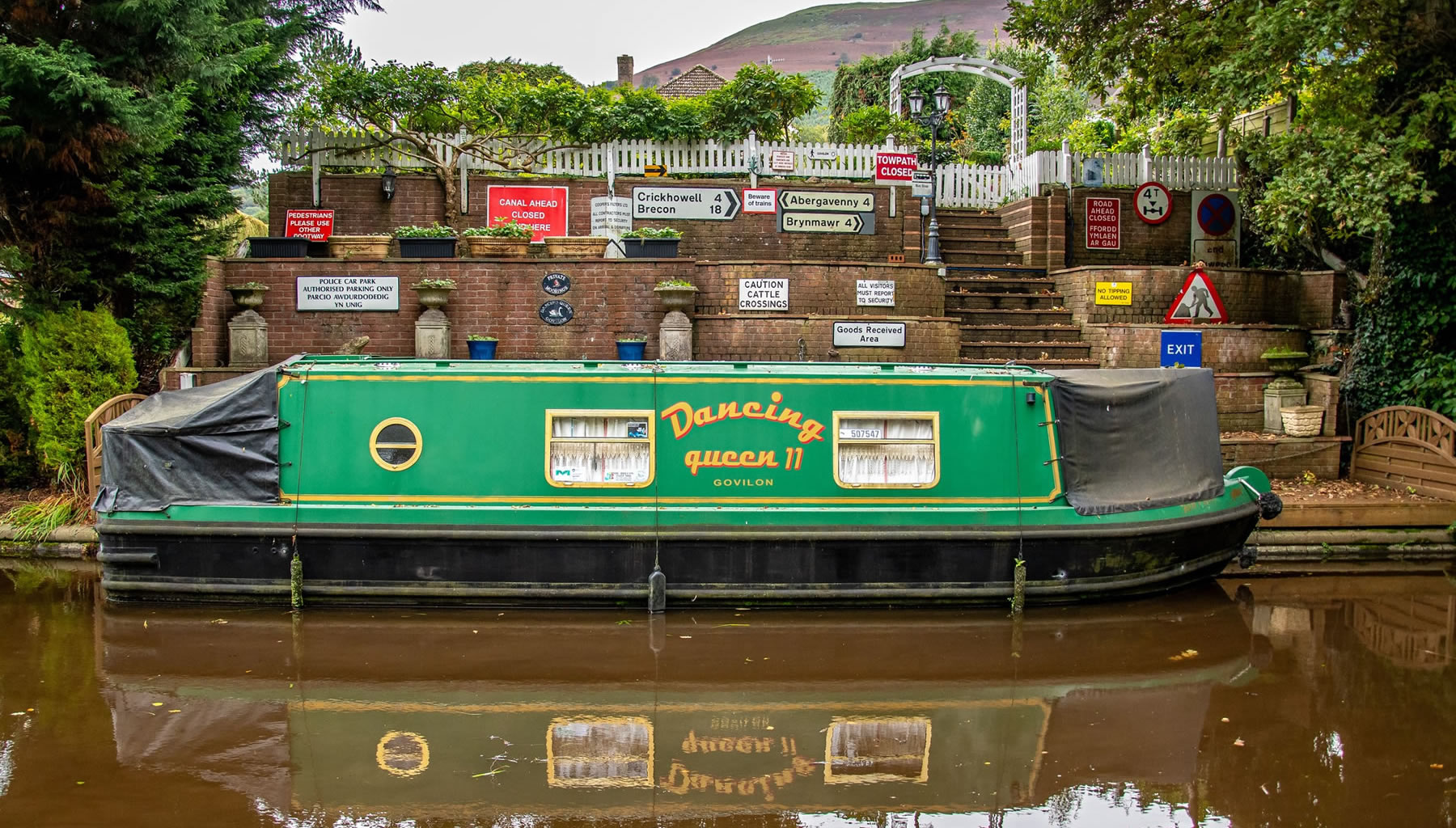
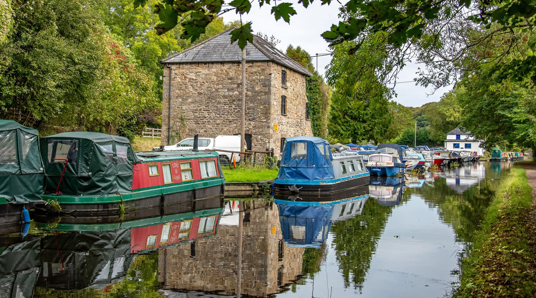
Pontymoile Basin on the Monmouthshire & Brecon Canal RETURN
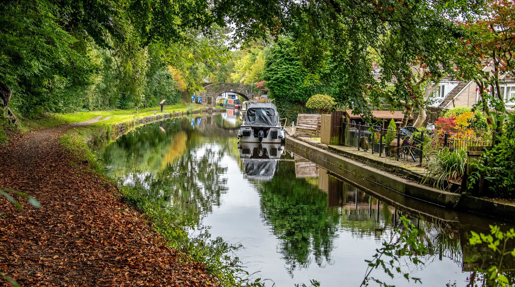
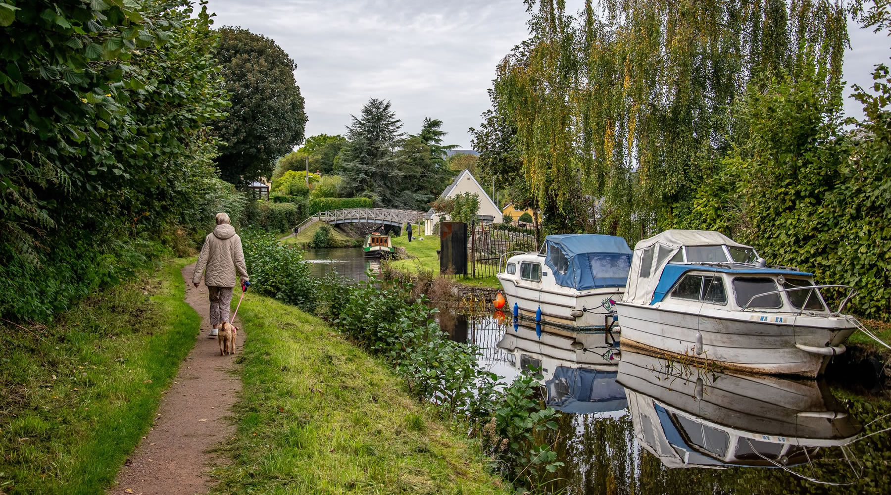
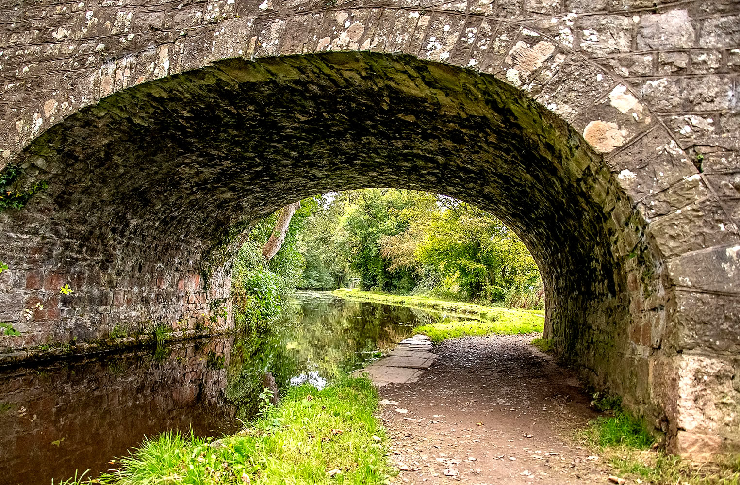
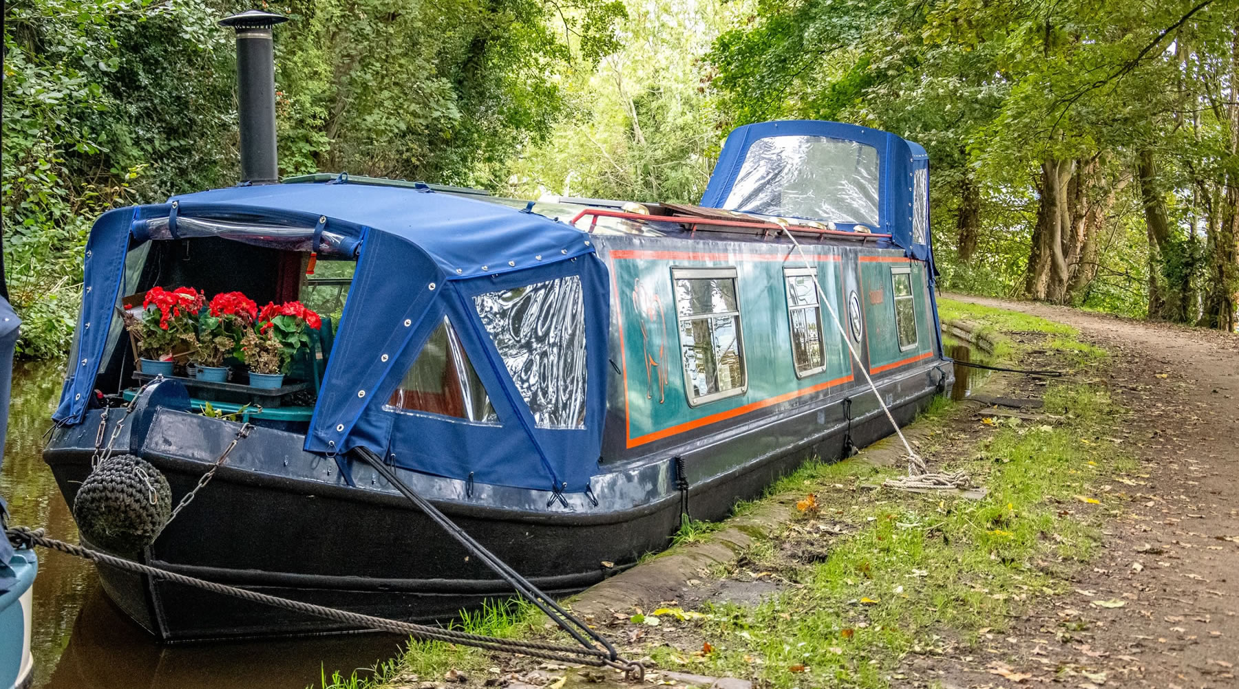
Pontymoile Basin is a mooring point and canal junction on the Monmouthshire & Brecon Canal, a historic inland waterway in Wales that currently runs from near Pontymoile north of Newport to Brecon. The current navigable length is 35 miles. The canal is colloquially known as the “Mon and Brec“.
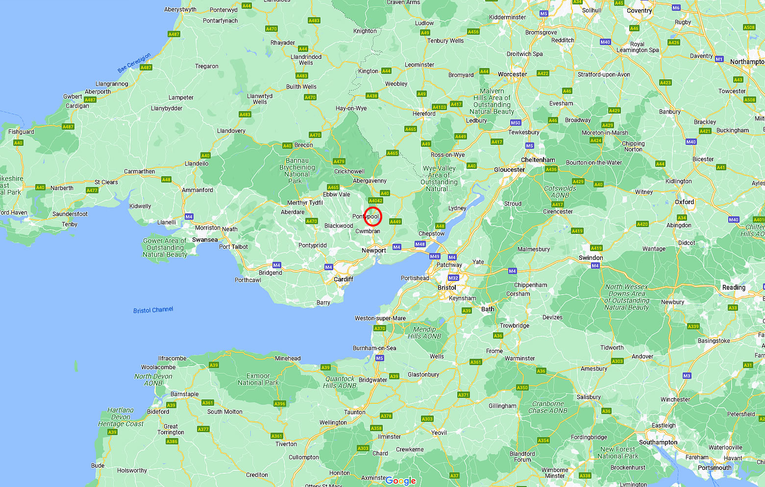
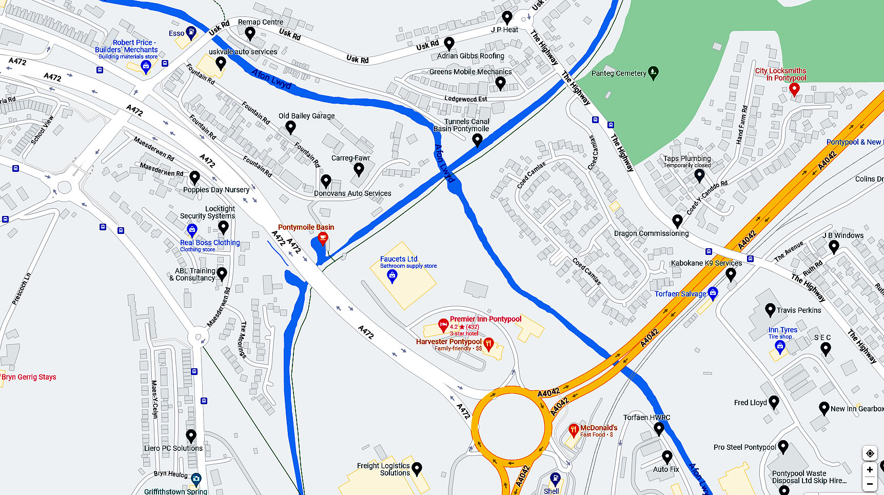
Location: The basin lies on the Pontypool stretch of the Monmouthshire & Brecon Canal in the Pontypool suburb of Pontymoile in the county borough of Torfaen and historic county of Monmouthshire in south Wales.
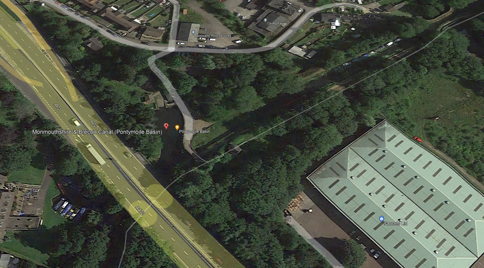
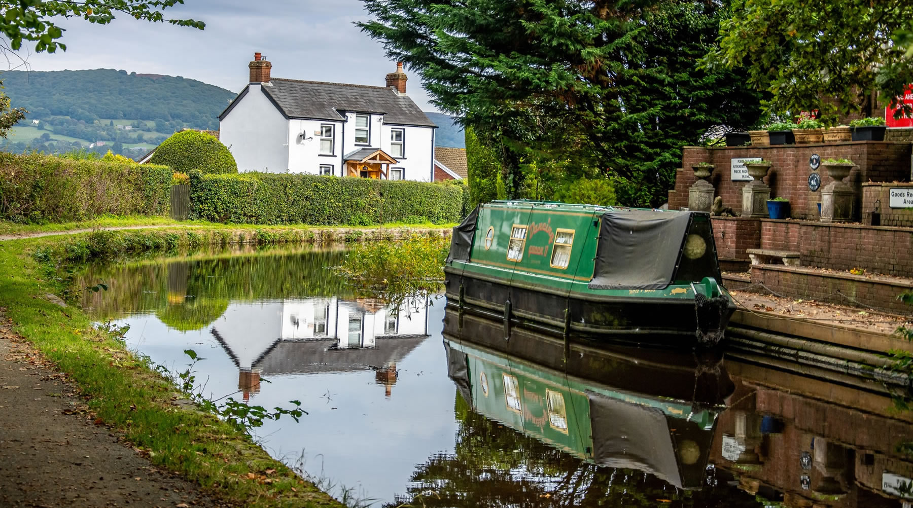
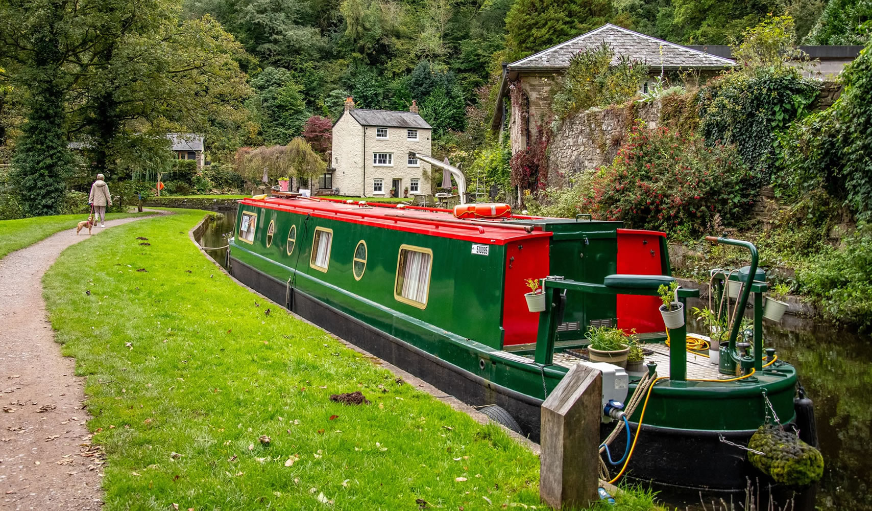
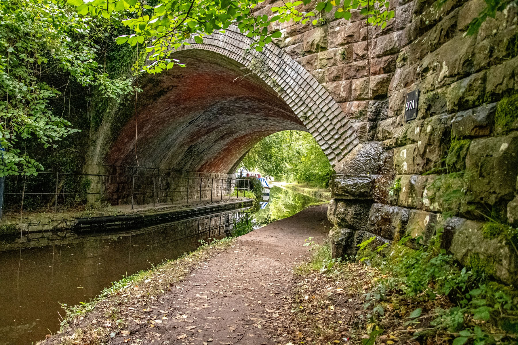
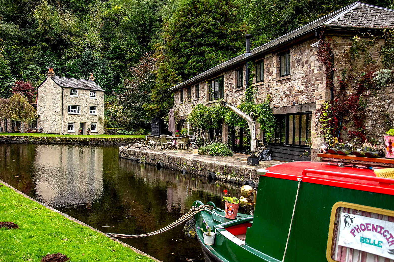
History: Originally a toll point, the canal narrows significantly as it approaches the basin. Junction Cottage is the old toll house, built in 1814 and is Grade II listed. The basin itself is a large expanse of water adjacent to the canal. It is used for turning narrowboats and filling up with water.
Pontymoile Basin was the site of the junction with the three-mile Monmouthshire Canal to Pontnewynydd, containing 11 locks. This spur was fed from tramways carrying coal and iron down the valley. The junction was enacted in 1797 and completed in 1812. The spur was problematic due to water supply issues, and it was overtaken by rail when the Monmouthshire Railway and Canal Company drained it and reused the bed for their railway line in 1854, though it had seen decline prior to that date. Today traces of both canal and railway have disappeared under the reshaped A472 road. |