|
 |
 |
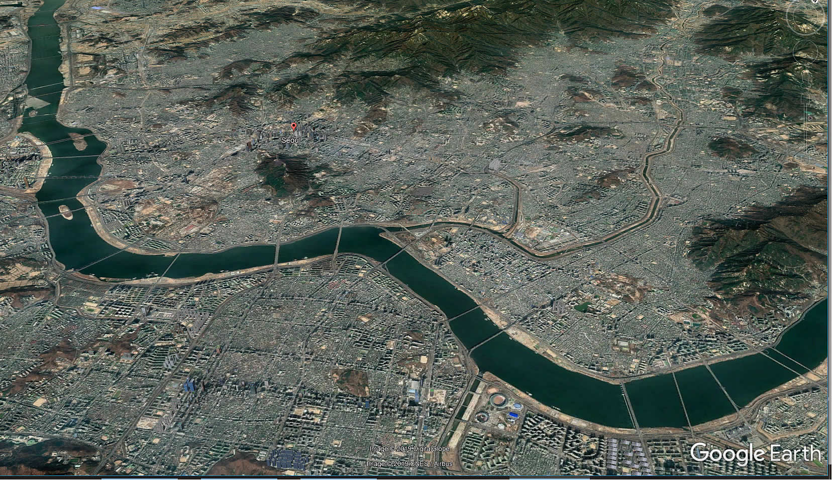 |
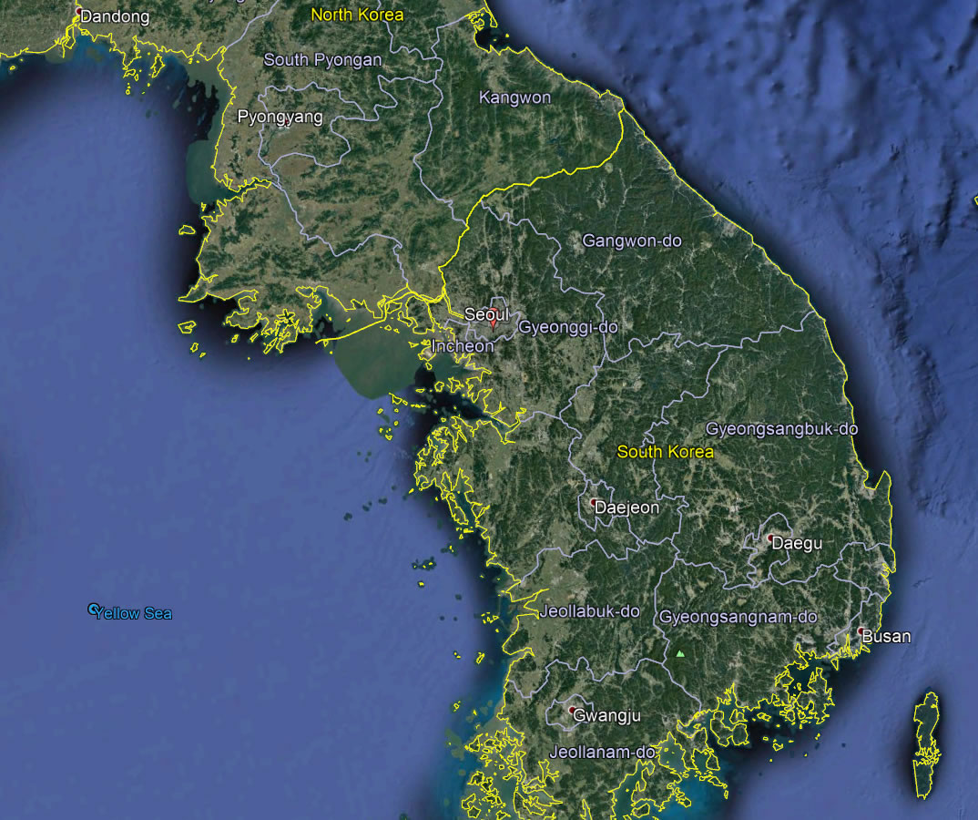
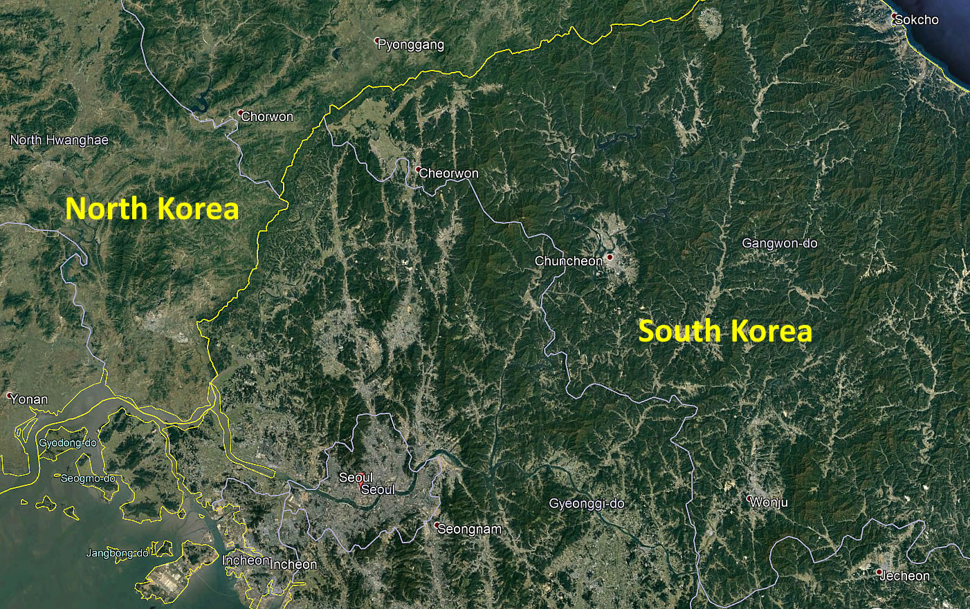
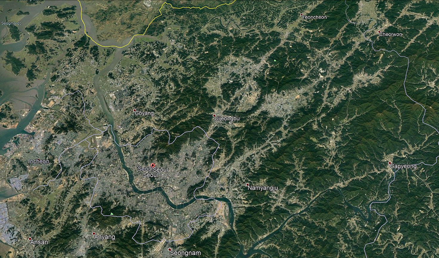
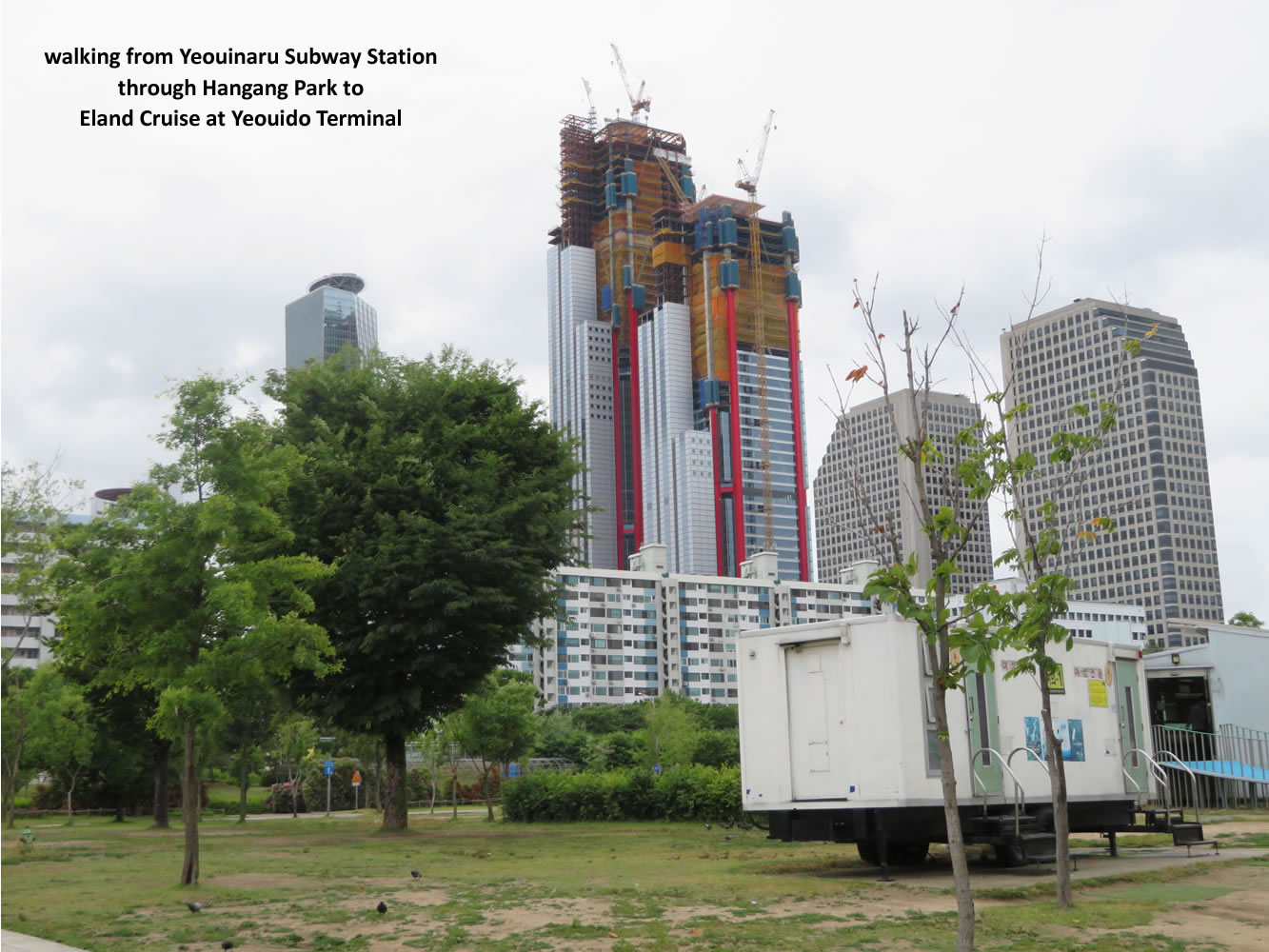
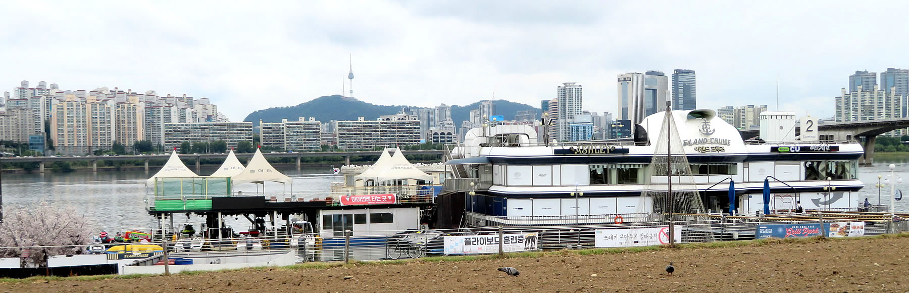
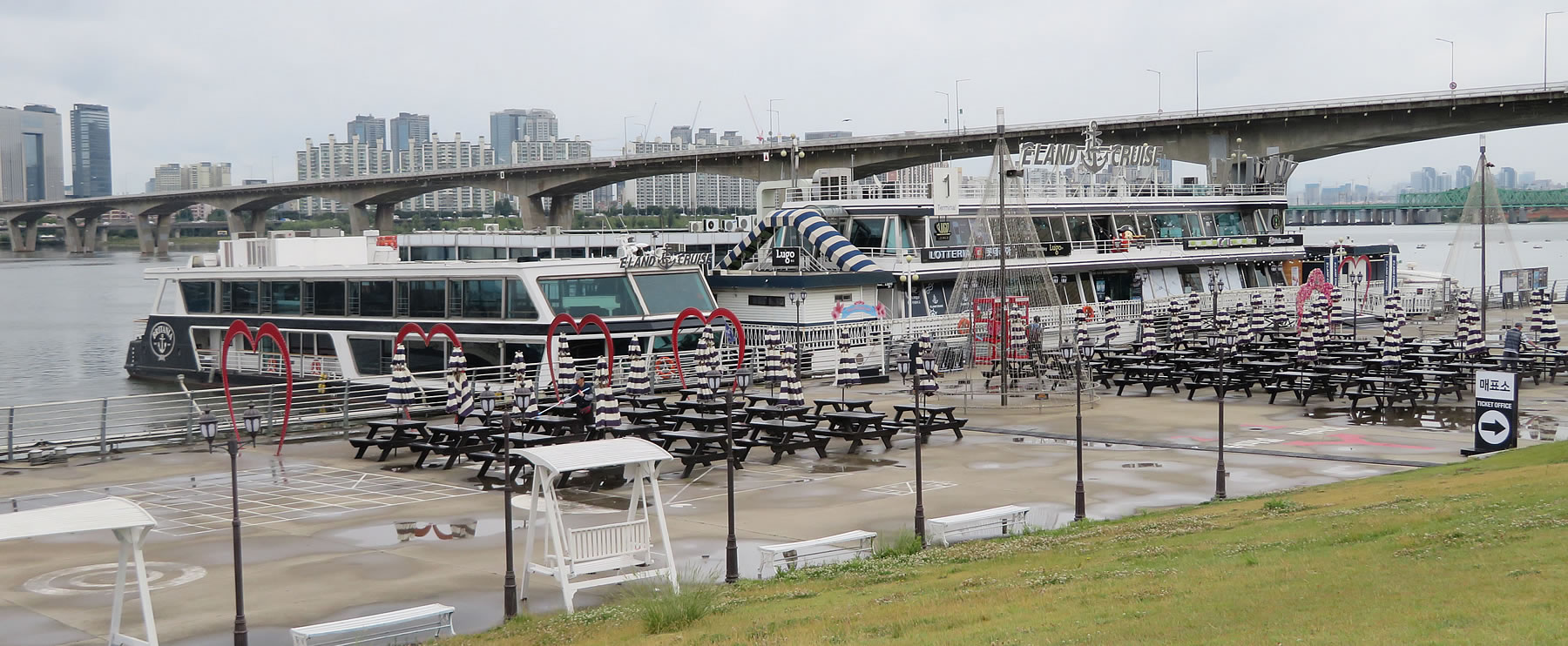
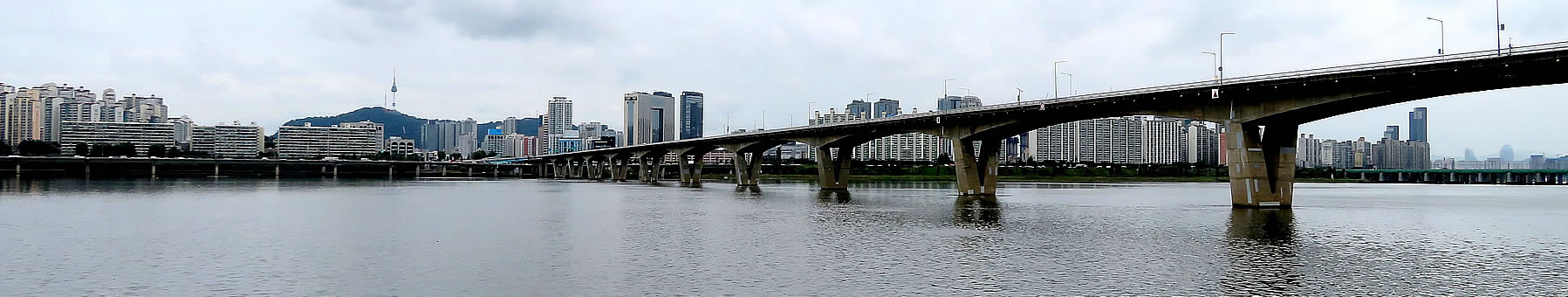
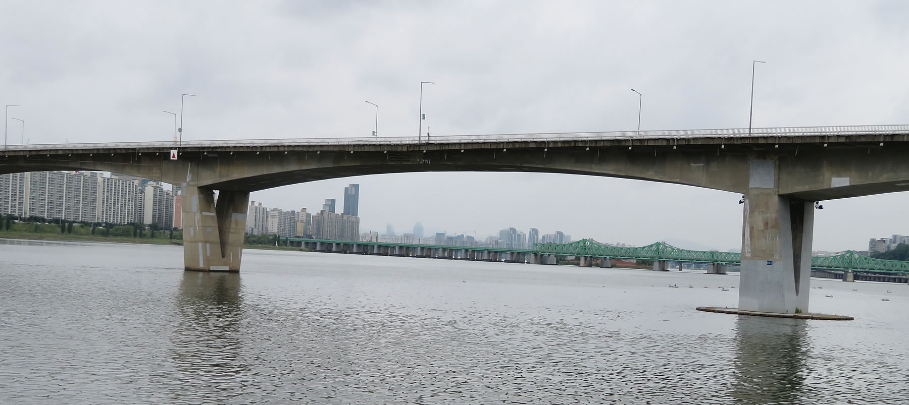
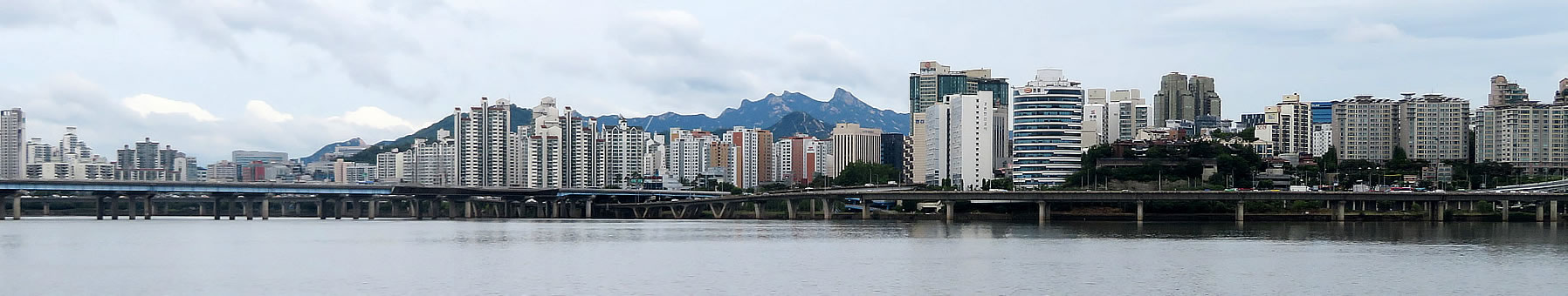
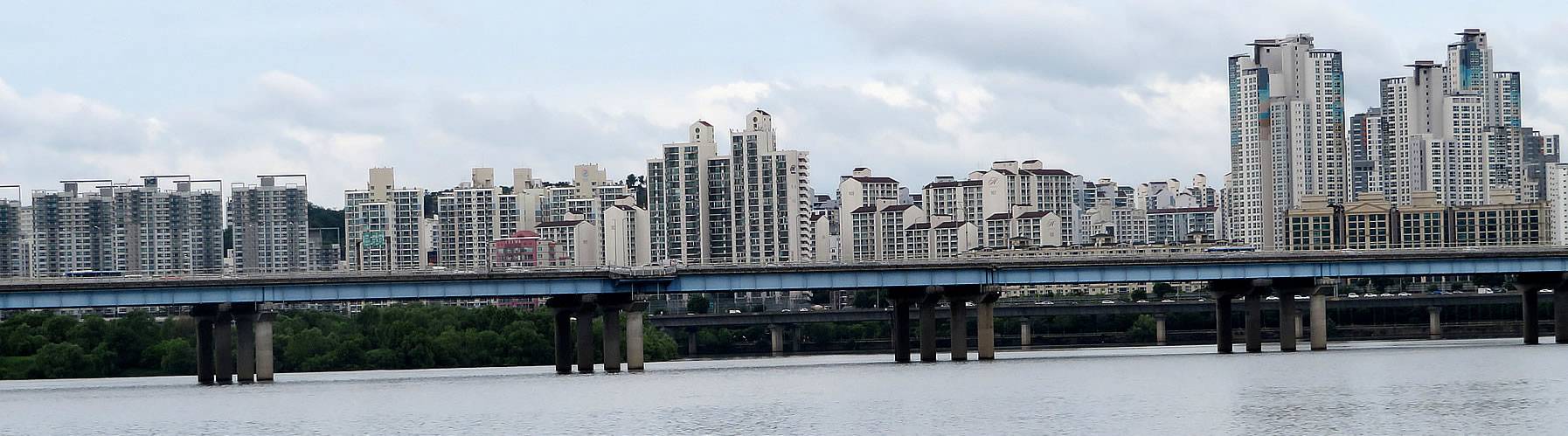
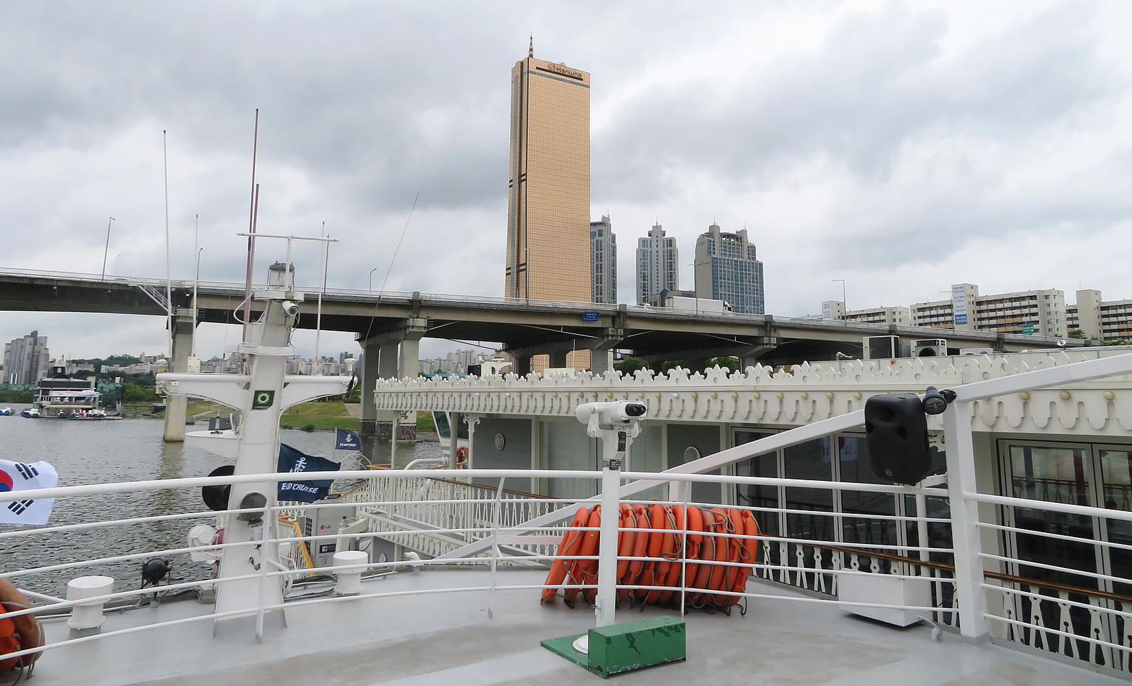
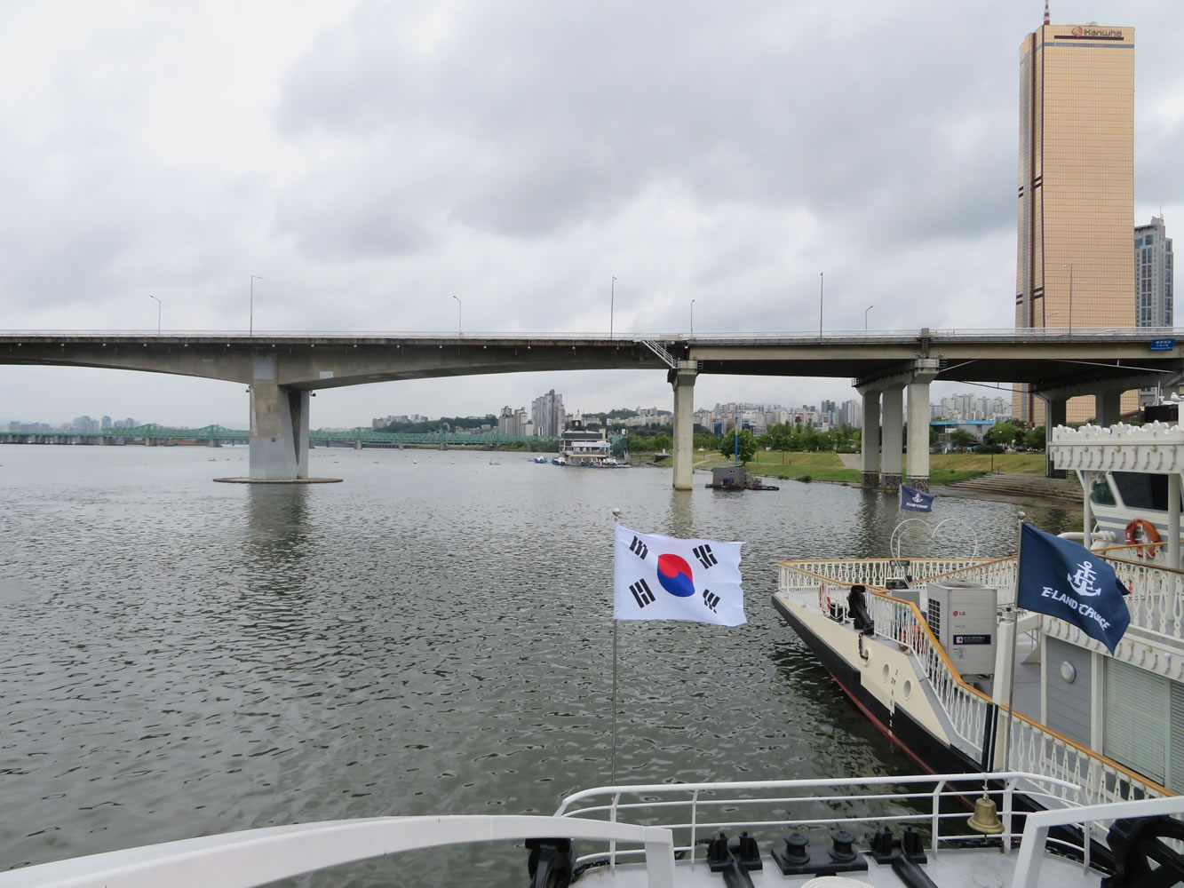
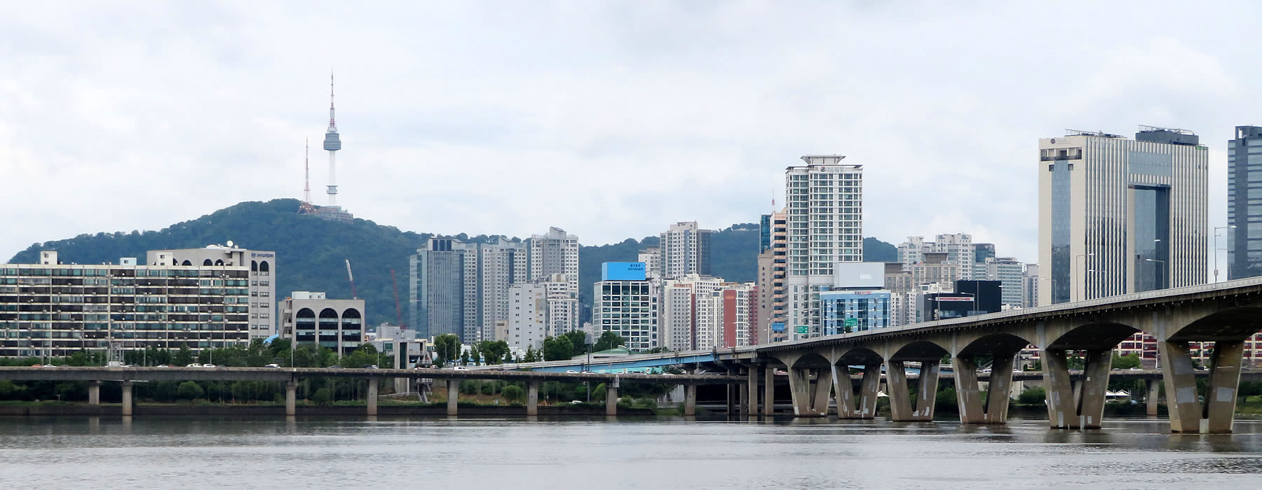
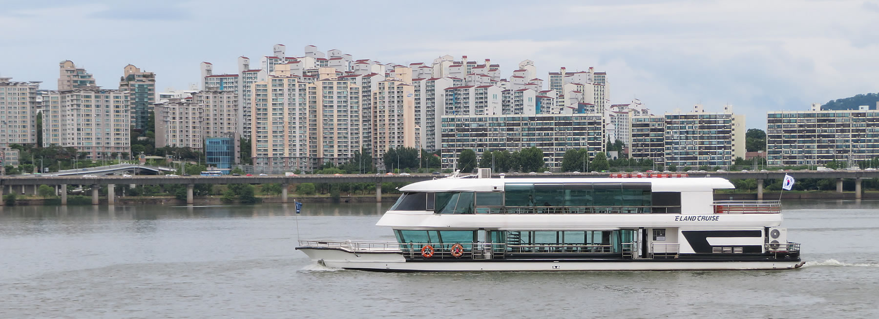
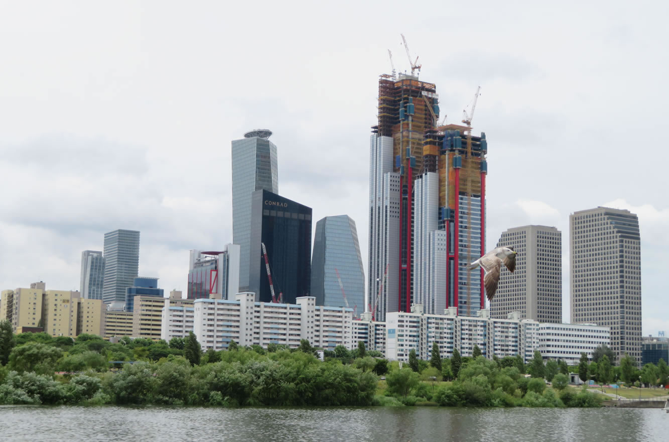
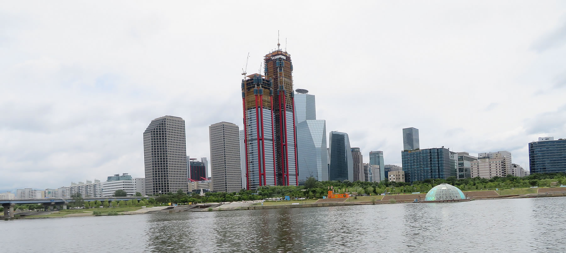
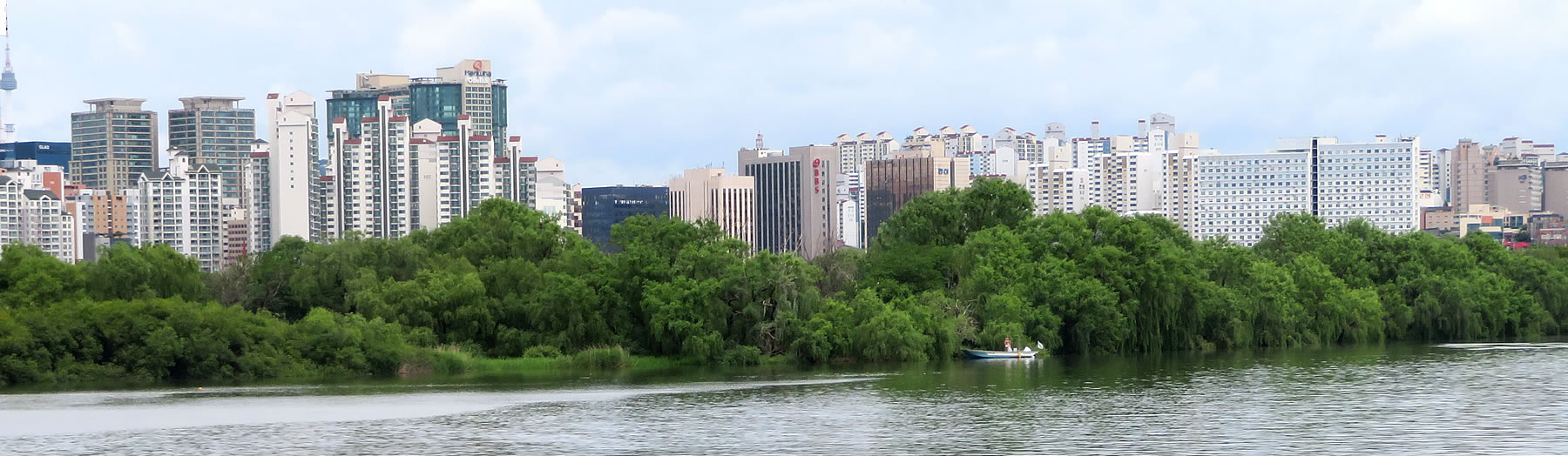
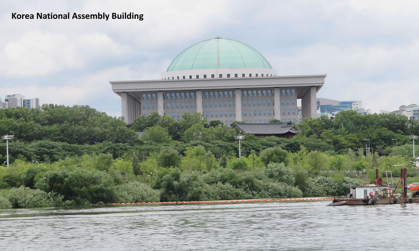
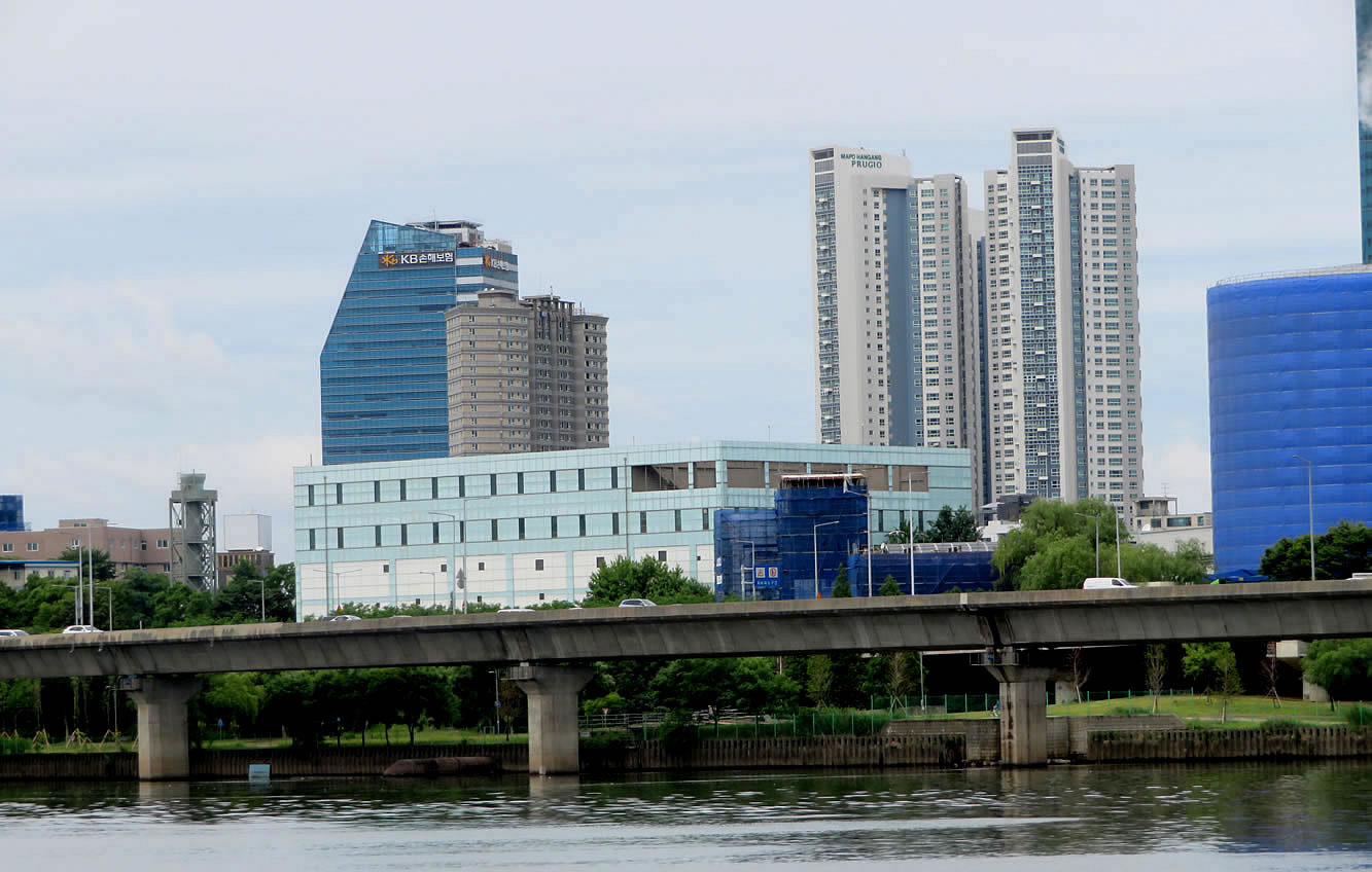
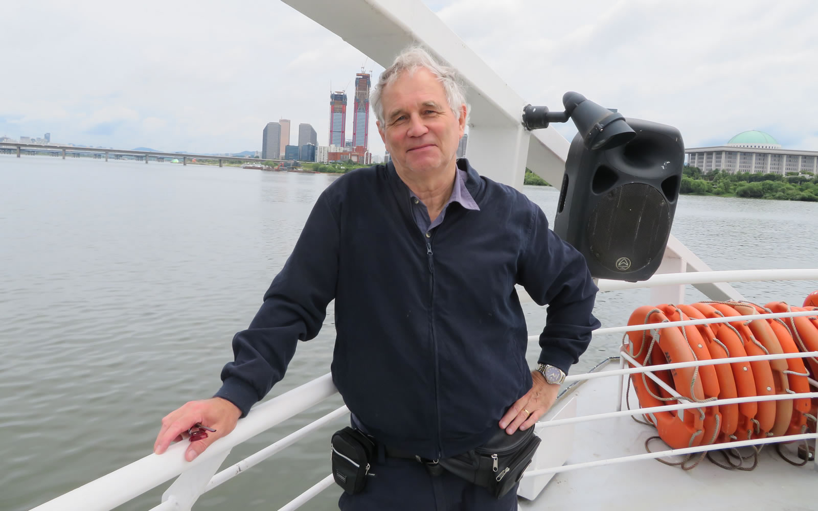
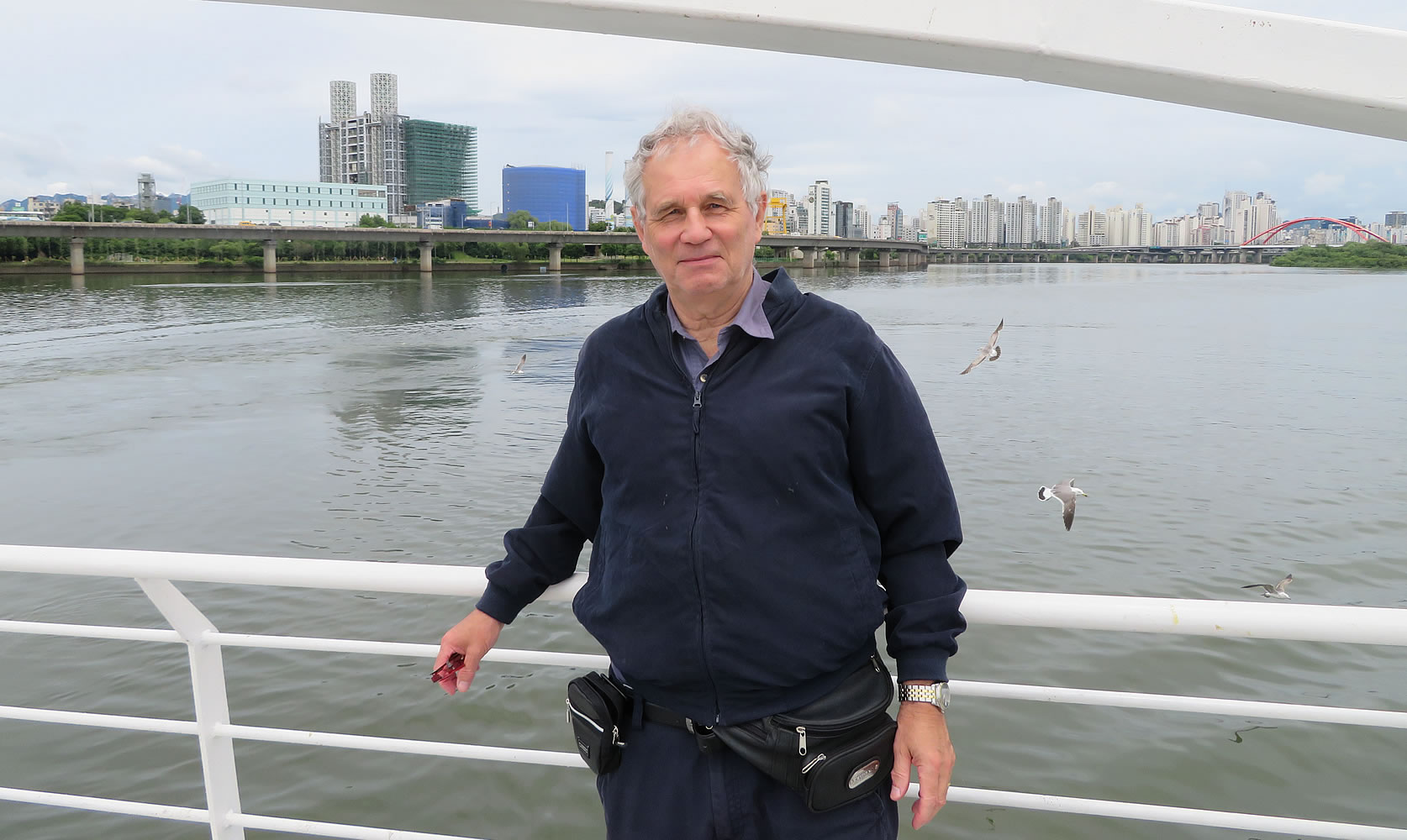
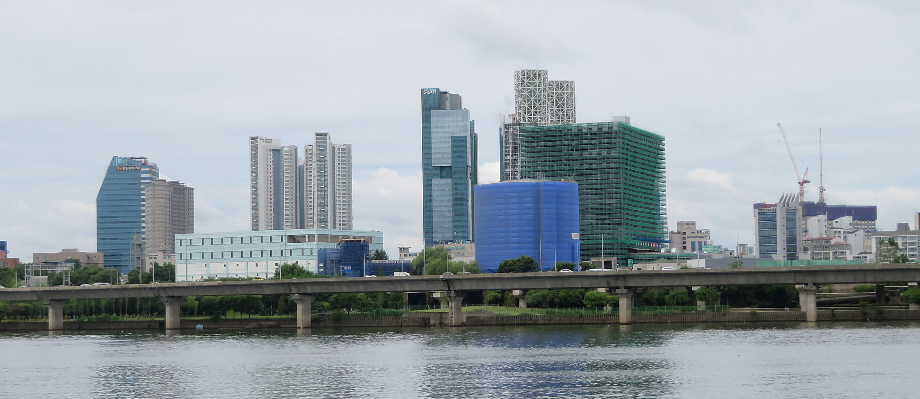
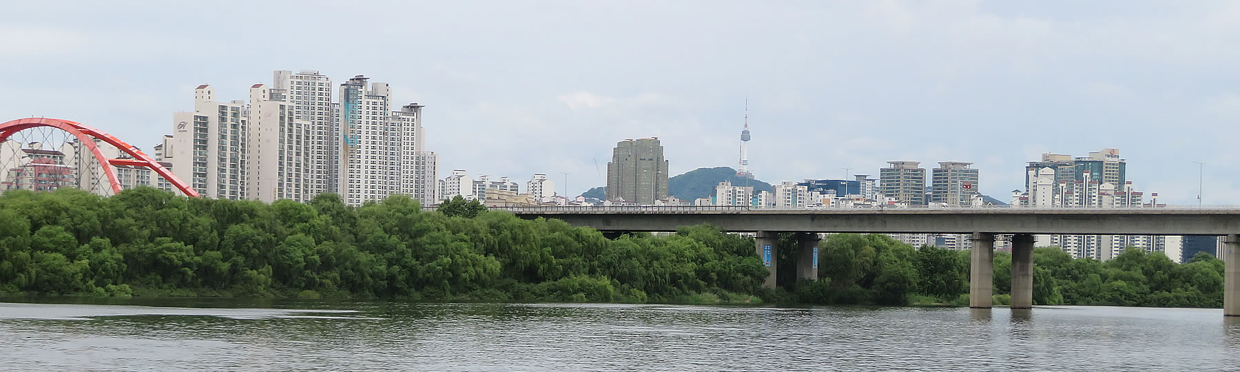
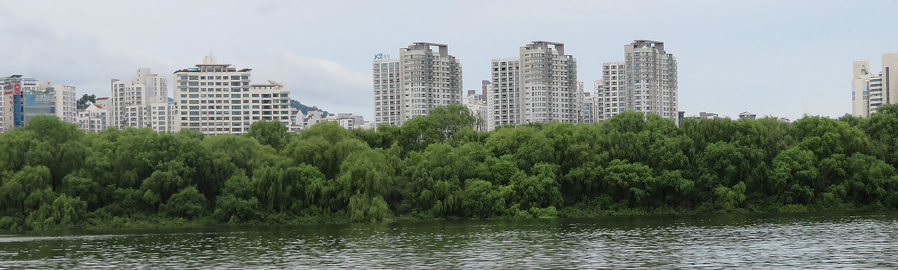
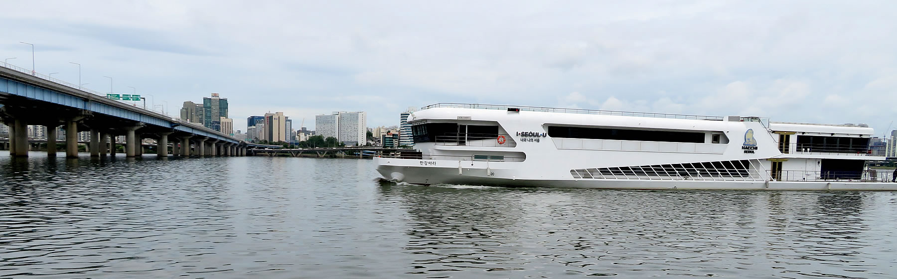
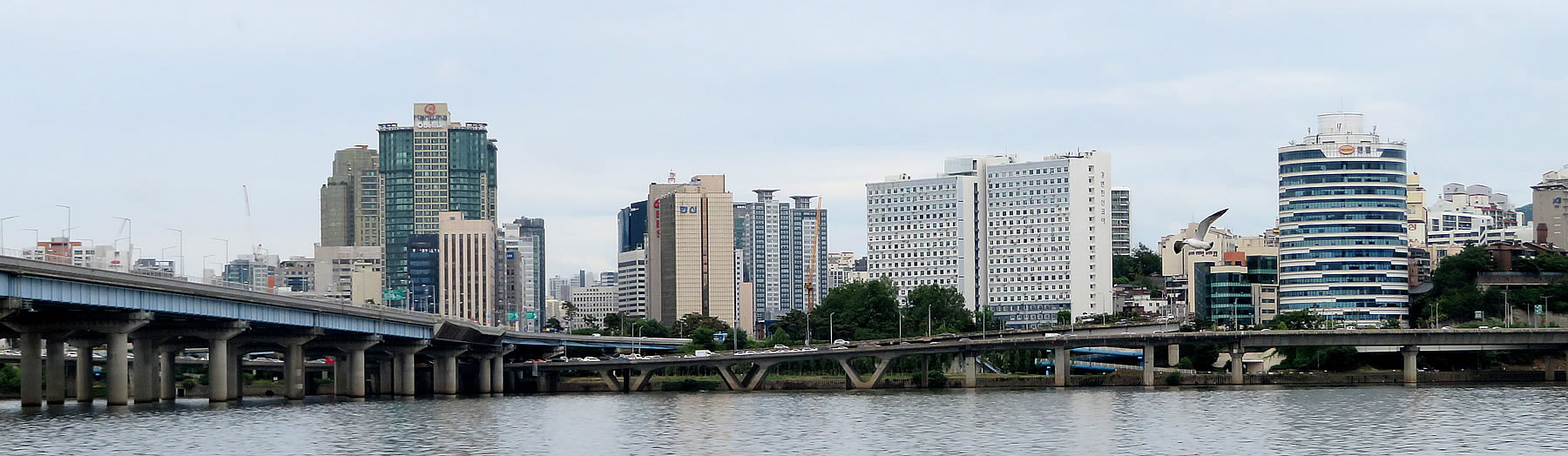
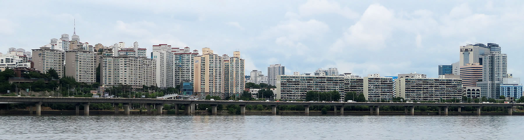
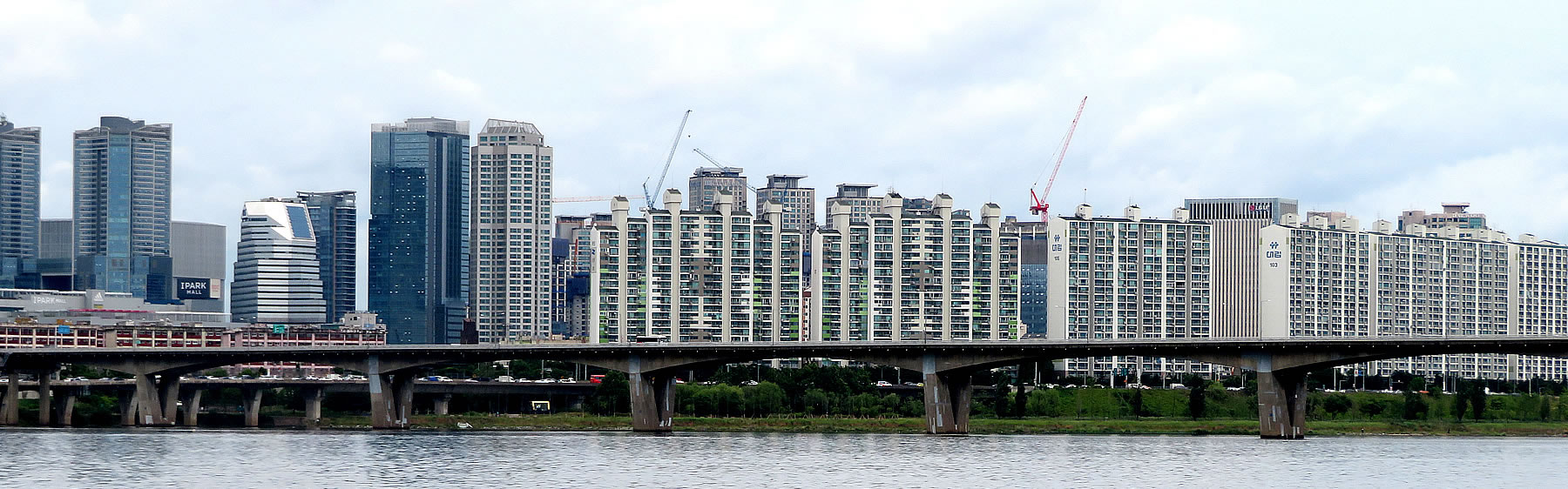
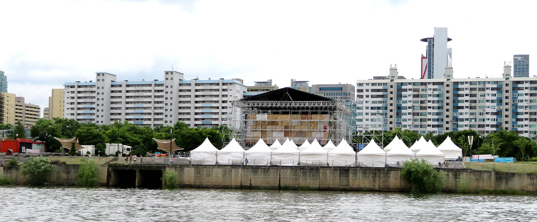
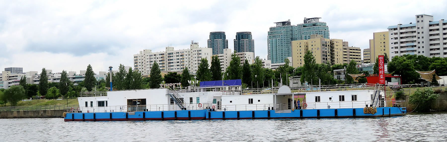
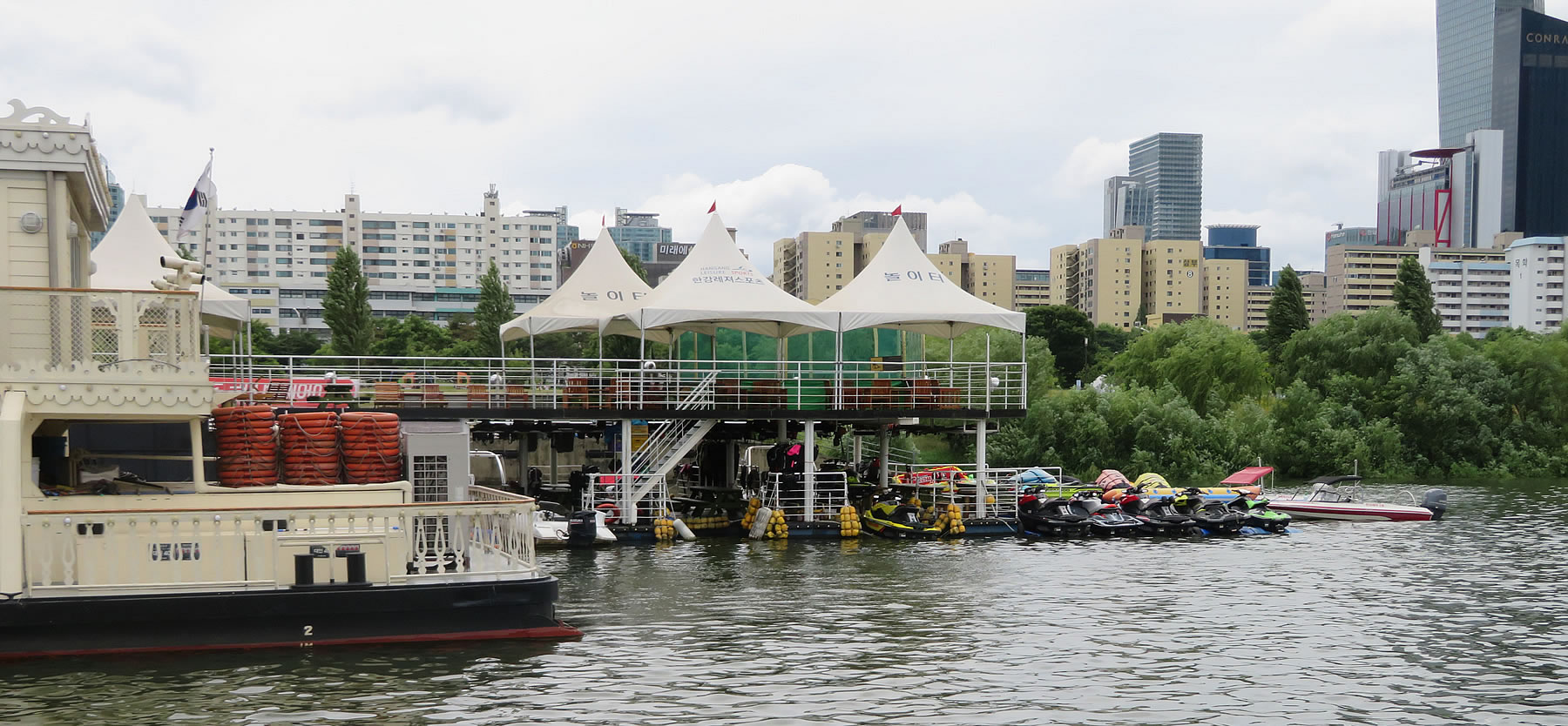
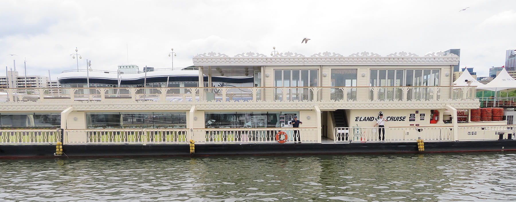
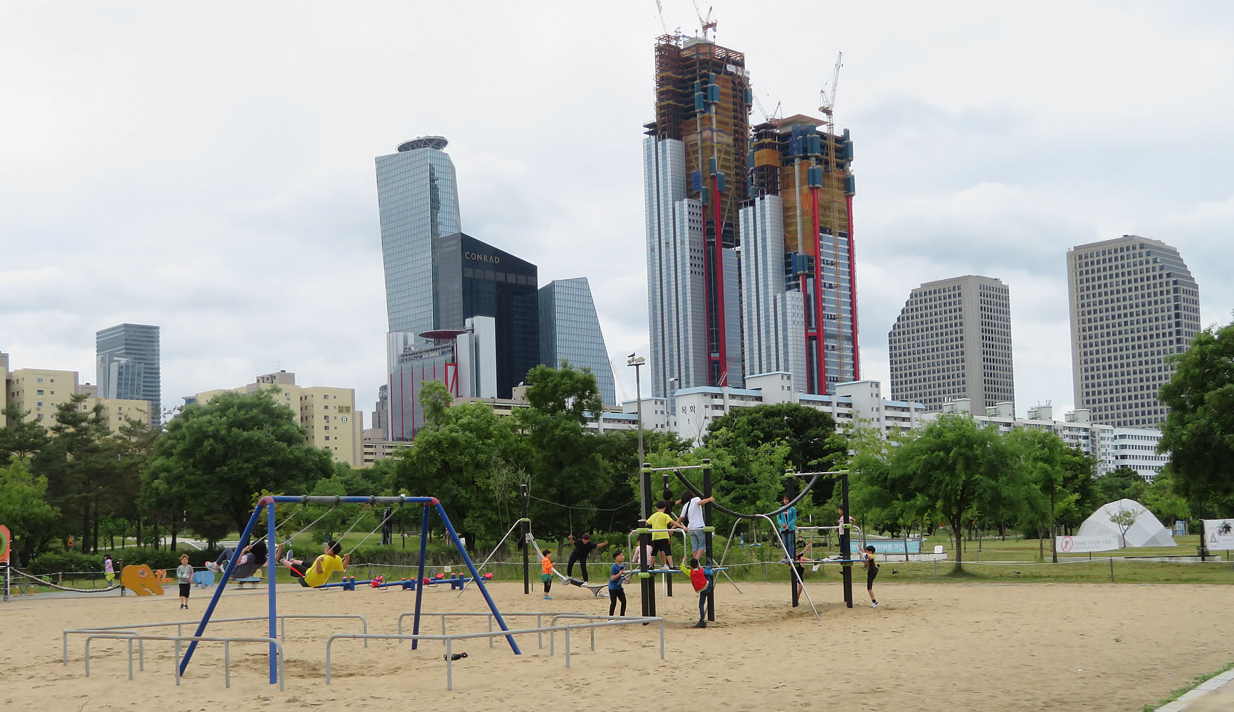
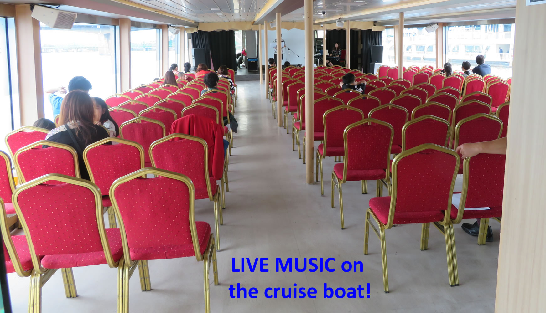
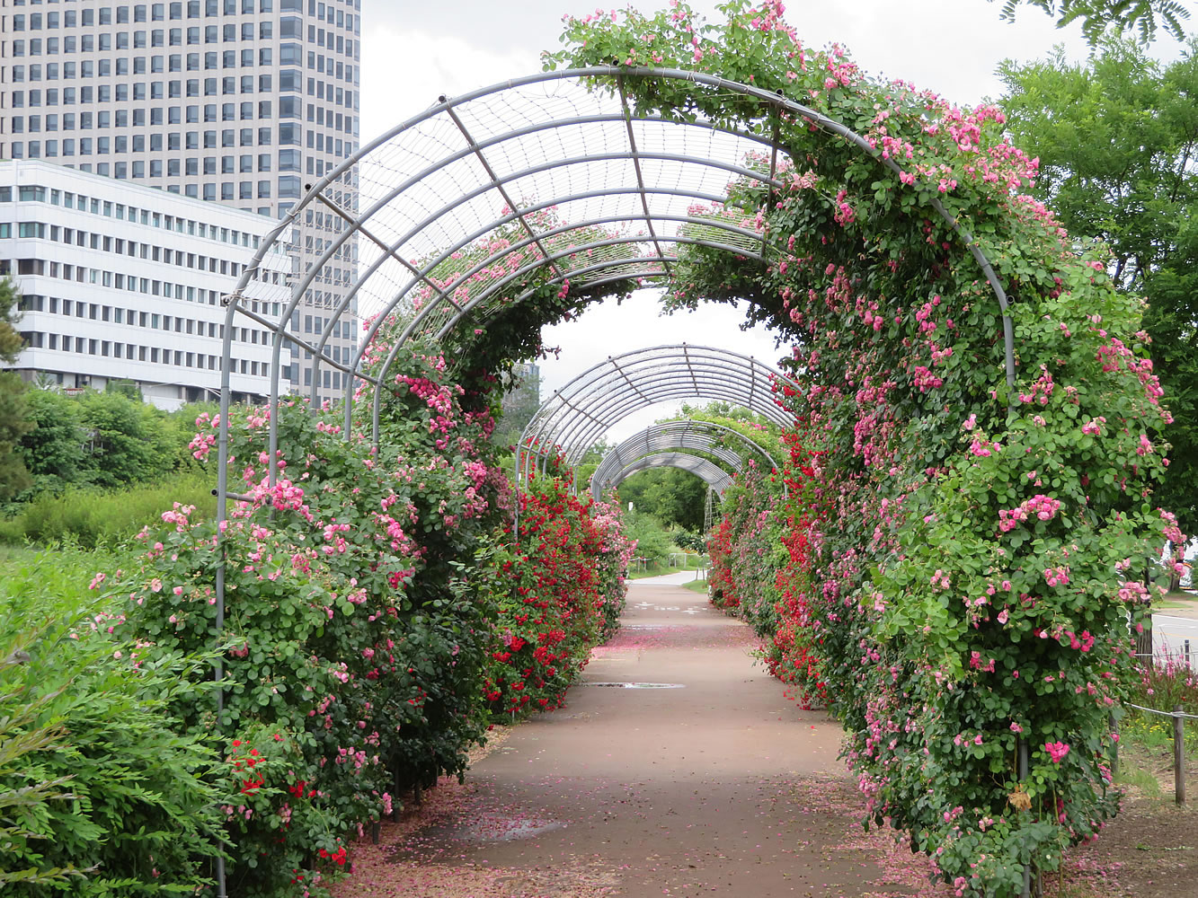
The Han River or Hangang (Korean pronunciation: [ha(ː)n.ɡaŋ]) is a major river in South Korea and the fourth longest river on the Korean peninsula after the Amnok (Yalu), Tuman (Tumen), and Nakdong rivers. The river begins as two smaller rivers in the eastern mountains of the Korean peninsula, which then converge near Seoul, the capital of the country. The Han River and its surrounding area have played an important role in Korean history. The Three Kingdoms of Korea strove to take control of this land, where the river was used as a trade route to China (via the Yellow Sea). However, the river is no longer actively used for navigation, because its estuary is located at the borders of the two Koreas, barred for entrance by any civilian. However, the river serves as a water source for over 12 million Koreans. Currently, the lower stretches of the Han River are lined with pedestrian walkways, bicycle paths, public parks and restaurants, particularly in Seoul. In a 2011 survey conducted by Seoul Development Institute of 800 residents and 103 urban planning and architectural experts, 51.3 percent of residents and 68.9 percent of experts voted the river the second most scenic location in the city, following Mount Namsan in the top spot. Name: The Namhangang (Namhan meaning "South Han" and gang meaning "river") is sometimes, but not always, referred to as the "Han" in South Korea. The term "South Han" is understood irrespective of which side of the border one stands. Even though "Namhan" and "Bukhan" are homophones with the acronyms Namhan (남한; "South Korea") and Bukhan (북한; "North Korea"), used commonly in South Korea, this is a mere coincidence. The hanja for the Han River is not 韓 ("Korea") but 漢 (Chinese). The reason behind this is because the meaning of the native Korean "han" (한), in this instance meaning "great" "large" "wide", was transliterated into Hanja with the character 漢 also meant "large", thus showing the reason why the river used the word 漢 instead of 韓. It is also easily mistaken with the use of 漢 in Seoul's older name, "漢城" where 漢 does not refer to Chinese people, but refers to the idea of Seoul being the "walled city on the Han". As a result, Koreans rarely use 漢 because 韓 and 漢 sound the same (han), but the meaning is 韓 (han, 한, "Korean"), not "Han Chinese".Han River has been called by different names through the course of Korean history. During the period of the Han Commanderies on the peninsula and the early part of the three kingdoms period the river was often referred to as the Daesu (대수; 帶水; "the Regional Waters"). The state of Goguryeo called it the Arisu (아리수; 阿利水; "The Gainful Waters"). Baekje called it the Ungniha (욱리하; 郁里河; "Fragrant Mile River"), while the kingdom of Silla termed it the Iha (이하; 泥河; "Muddy River"). Geography: The Han is formed by the confluence of the Namhan River (South Han River), which originates in Mount Daedeok, and the Bukhan River (North Han River), which originates on the slopes of Kumgang Mountain in North Korea. The River flows through Seoul and then merges with the Rimjin River shortly before it flows into the Yellow Sea. The two major branches of the river, the Namhan River and the Bukhan River, come together at Yangpyeong, Gyeonggi province, at which point it is referred to as the Han River. It then passes through Seoul and continues on to the Yellow Sea. Broad tidal flats can be found at the mouth of the Han River, where it meets the sea along the Korean Demilitarized Zone that divides South and North Korea. The total length of the Han River is approximately 494 kilometres (307 mi). Although not a long river, the lower Han is remarkably broad for such a relatively short river. Within Seoul city limits, the river is more than 1 kilometre (0.62 mi) wide. Prior to the construction of a number of major dams, the river was known for its huge coefficient of river regime (ratio between the maximum and minimum amount of flow) of 1:390. (For comparison, The Thames and the Rhine have coefficients of 1:8 and 1:18, respectively.) History: The Han River has played a central role in Korean history from the earliest times. The kingdom of Baekje was the first to lay claim to the Han River, recognizing its strategic significance as a primary waterway linking the central western region of the peninsula with the Yellow Sea. It was also recognized for the river's fertile alluvial banks, a relative rarity on the mountainous peninsula. Pungnaptoseong, located south of Seoul, is posited as an early capital of Baekje. It was not long before the region near the effluence of the Han River with the Yellow Sea, around present-day Seoul, became a bone of contention between Baekje and the rising kingdom of Goguryeo. During the reign of its King Jangsu (r. 413-491) Goguryeo wrested the western terminus of the Han River from its rival Baekje. The ensuing decades would see a tug-of-war over the region until 551 when Baekje, in an alliance with Silla, confirmed its control over the Han River basin. But this alliance was not to last, and in 553 Silla broke its alliance with Baekje to seize control of the entire river as part of its bid for domination of the peninsula.With the demise of both Baekje and Goguryeo and then the unification of the peninsula under Silla in 668, the Han River entered its long era as a "Korean river", first under the control of Unified Silla (668-918), then of the succeeding Goryeo dynasty (918-1392), and finally as part of the Joseon dynasty (1392-1910). During the Joseon period the Han River achieved new prominence as the primary waterway of the new Korean capital of Seoul, then called Hanyang. The Han River now belongs largely to the Republic of Korea, or South Korea, with its effluence in the Yellow Sea a few nautical miles from North Korea (though some of the river's tributaries are in North Korea). During the first few decades of South Korea's existence the Han River became a byword for pollution, as burgeoning industry and an impoverished populace used it as a convenient spillway for industrial and urban refuse. Though it no longer plays a central role in commerce or transportation it is a prime fixture in the life of the South Korean capital and in the last decade has become the focus of government sponsored environmental efforts to clean it up and transform it into an ecological jewel of the capital. During the 1988 Summer Olympics in Seoul, the Han River was the site of the Olympic rowing regatta.There have been fears, such as the 1986 Water Panic in South Korea, that North Korea could attack Seoul by releasing a flood from the upstream dam. In July 2000, the US military admitted to dumping 20 gallons (75.7 liters) of the highly toxic chemical formaldehyde in the river from one of their bases in Seoul. As the river serves as a drinking source for some 12 million Koreans, Koreans launched large protests and accused the US military of ignoring South Korea's environmental regulations. Activists lobbed toy rockets - filled with water from the river - into the main US Army base. The political party Green Party Korea had earlier accused the US of dumping nearly 60 gallons of the toxic chemical into the river, and said that "... if people are exposed to the chemical for a long period of time, it could cause lung cancer [and when] dissolved into water, it could kill fish and other aquatic creatures." The events inspired Bong Joon-ho's acclaimed 2006 film "The Host". From 2009 the Lee Myung Bak administration resuscitated a project to dig a canal linking the Han River with the Yellow Sea at Incheon. This eighteen kilometer Ara Canal was completed in 2011 and now links the Han River near Gimpo in Seoul to Incheon. It can accommodate both large container and passenger vessels. Joint Utilization Zone: On November 4, 2018, a 20-member team consisting of 10 people from North Korea and 10 people from South Korea began a joint inter-Korean survey which will lead to the development a Joint Utilization Zone along the Han River's estuary. The Zone will allow civilians to access the estuary for tourism, ecological protection and the collection of construction aggregate under the protection of militaries from both sides of the Korean border. On November 5, 2018, the councils of South Korea's Gangwon and Gyeonggi provinces, which border the DMZ, signed a “peace working agreement” at Dorasan Station in Paju, giving local approval to the Joint Utilization Zone. The inter-Korean survey of the Han River's estuary was completed on December 9, 2018. The new map of the river's estuary, which consists of newly discovered reefs, will made public by January 25, 2019. |
 |
 |
 |
 |
 |
 |
 |
 |
 |
 |
 |
 |
 |
 |
 |
 |
 |
 |
 |
 |
 |
 |
 |
 |
 |
 |
 |
 |
 |
 |
 |
 |
 |
 |
 |
 |
 |